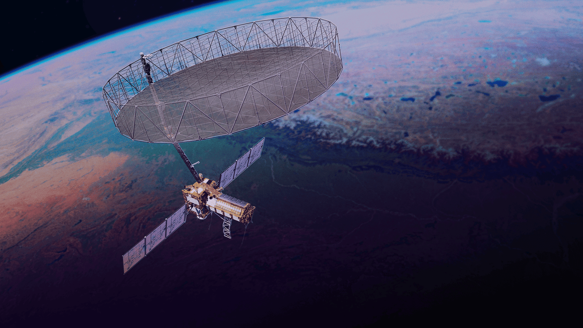
About the mission: NISAR will use dual-frequency Synthetic Aperture Radar to map Earth’s surface with high detail, day and night and through clouds. The mission targets glacier dynamics, forest biomass, soil moisture, coastal erosion, land subsidence, and tectonic deformation.
What just happened: The spacecraft unfurled its massive radar antenna in space, a complex manoeuvre involving hinges, latches, and motorised booms. With deployment confirmed, teams proceed to check-outs and radiometric/geometric calibration to validate data quality.
Why it’s big: SAR data offers consistent, weather-independent coverage—essential for early warning of floods and landslides, planning irrigation, and tracking infrastructure risks. Open data policies also enable universities and startups to build applications for agriculture, disaster management, and climate adaptation.
India angle: Access to frequent, high-resolution radar imagery will strengthen national programmes—crop insurance estimation, groundwater studies, and urban planning. It also deepens the India–U.S. technology partnership in space.
What’s next: After the calibration phase, the mission will release routine data sets and begin long time-series observations, building the evidence base for climate-resilient policy and local decision-making.


